Halu-Jo-Daro, Kambar
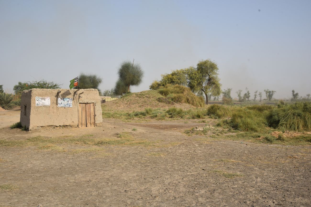
The archaeological site of Halu-jo-Daro is a small sized mound. Its measurements are 200 meters in length, 172 meters in width and its elevation is 162' from sea level. The total covered area of the mound is 22760 sq.ft. The local people mentioned the site to have been once a rich site, but its present condition does not portray any such evidence, some cultural material was found by villagers. Cultural material included terracotta grinder (complete) and pieces of stone grinder and potsherd. Some traces of structural evidences of burnt bricks are present on the mound. Presently the mound is occupied with some modern graves. The mound is endangered due to cultivation and being converted into residential houses. The site is unidentified. Surveyed by CDC-EFT - April 19th, 2018. The site is located at village Saindad Khoso near Dost Ali pull Taluka Qambar, District Qambar-Shahdadkot.
[Source: CDC - EFT]
Open in Google Map: 27.6568037, 67.87681
Images Gallery


Copyright © 2019 · All Rights Reserved · Endowment Fund Trust