Roopa Mari Site, Badin
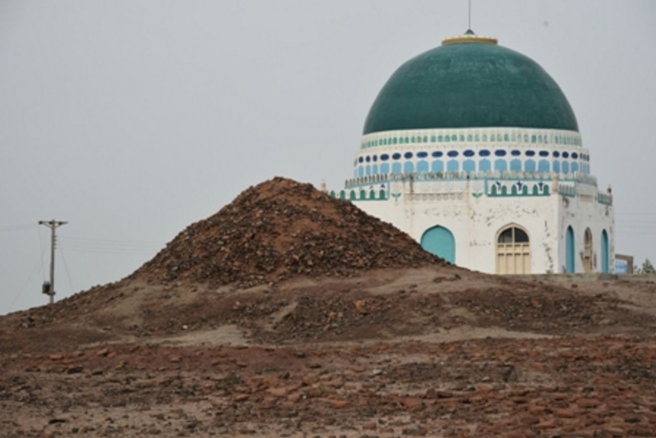
The site of Roopa Mari is a ruined site, which has been destroyed by local people, the present remains evident on the site are in a circular and cone shaped mound, left as a dump by villagers. The measurements of the mound are 70 ft. circumference at bottom, 6 ft. circumference at the top and about 25 ft. high from the surrounding surface area.
It is a very high mound with debris of over fired bricks and brick bats spread all over the site. Sparse cultural material is scattered on surface which is mostly damaged due to natural action and human vagaries hence unidentifiable. There are traces of mud brick platform below the mound visible on its southern edge and evidence of a burnt brick mosque on the southern side of the mound. There is a tomb of Dodo Soomro (a legendry ruler of Soomra dynasty) situated on the eastern side of the mound, whereas the grave of Chanesar (brother of Dodo Soomro) is situated at a short distance of the tomb of Dodo Soomro. There is a recent graveyard on the northern side of the mound.
PERIOD: Islamic (12th to 18th century AD). ACCESSIBILITY: The Roopa Marri is located approximately 4.90 kilometers north-west of Lakho Pir village and about 15.23 kms south-east of Bhugra Memon, Taluka and District Badin. Surveyed by CDC-EFT - August 4th, 2017.
Source: CDC - EFT
Open in Google Map: 24.3889958, 68.9478277
Images Gallery


Copyright © 2019 · All Rights Reserved · Endowment Fund Trust