Unar Kot - Kheerin Kot, Badin
The site is divided into two parts,
(1) Historical fort known as Unarkot / Kheerinkot. The fort is also known as Kheerinkot. Historically it belongs to the Samma period and was constructed in the era of king Jam FerozuddinUnar, who was the first ruler of Samma's.
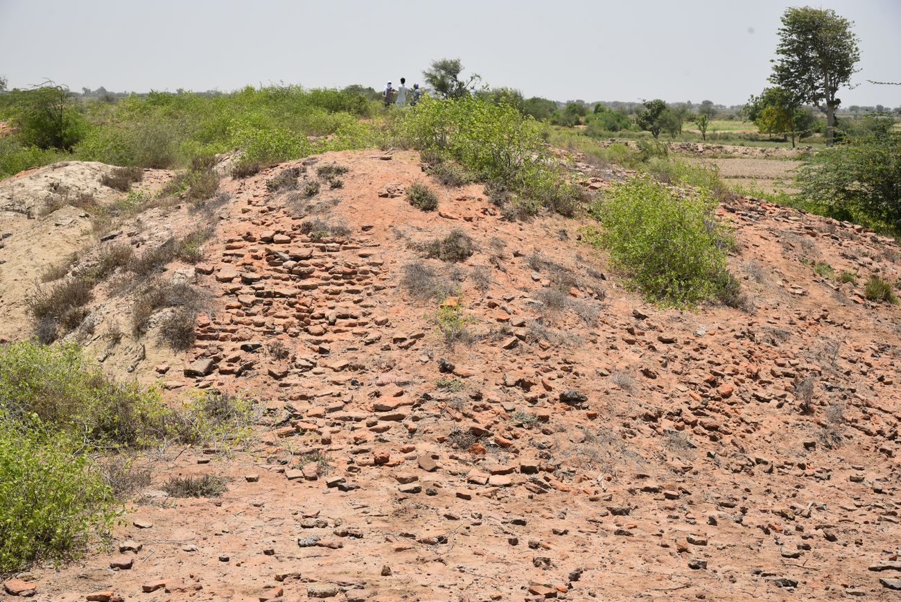
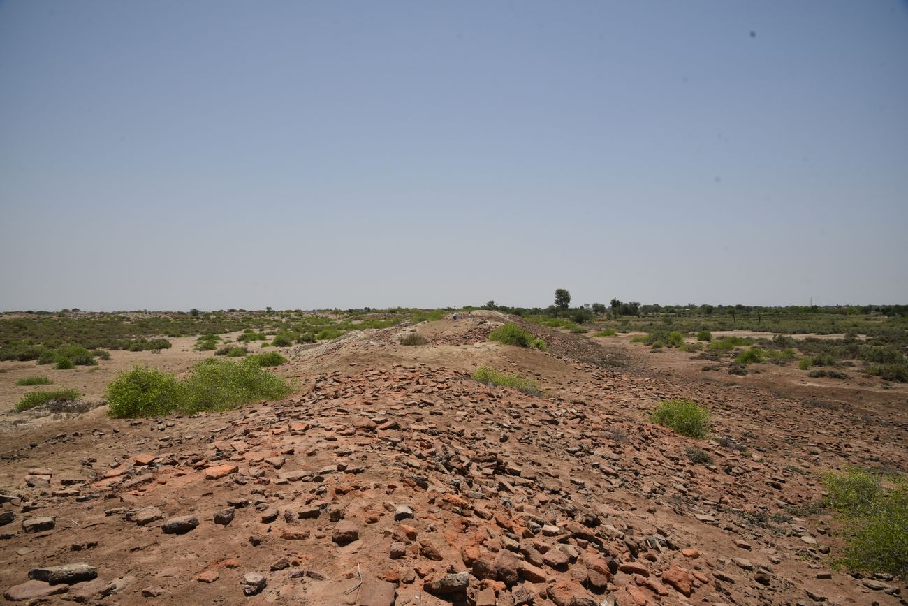
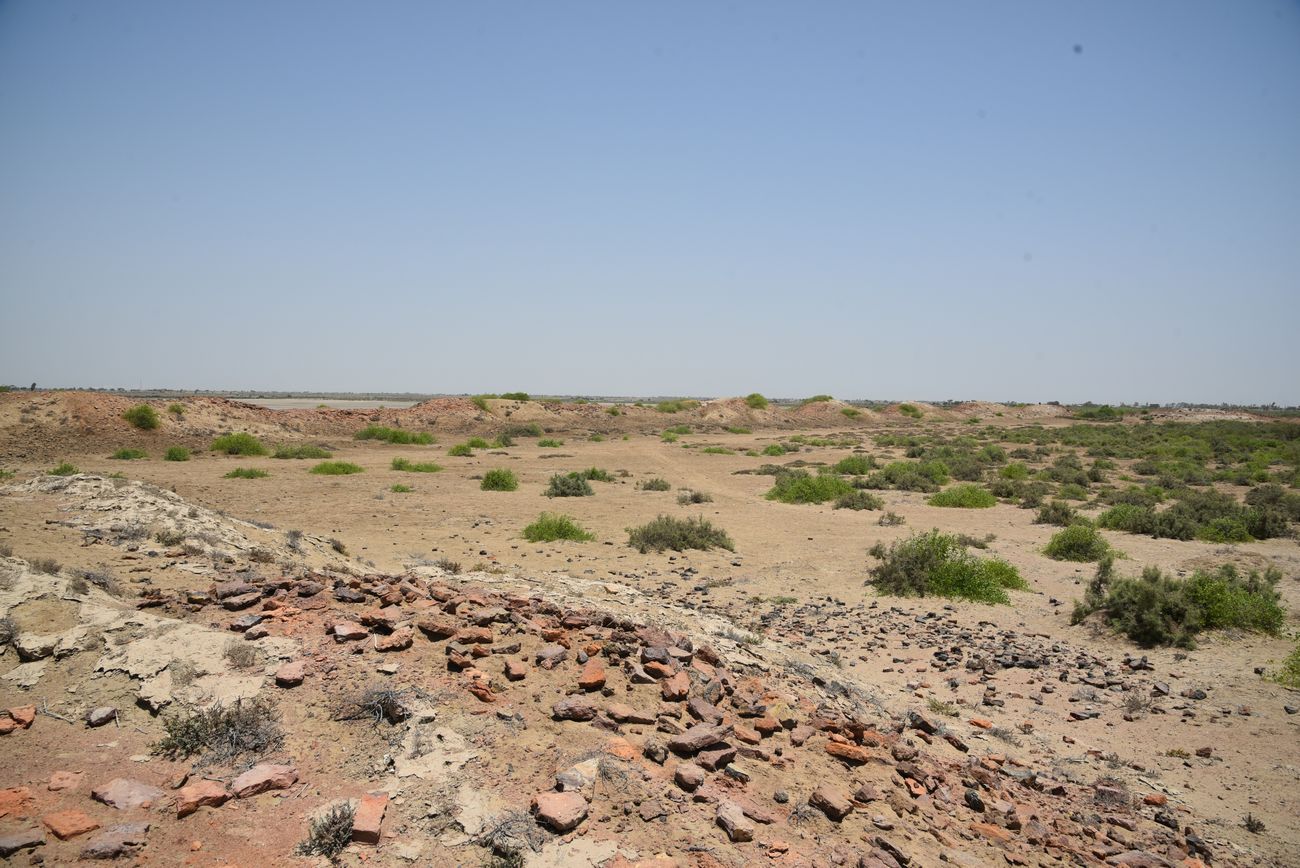
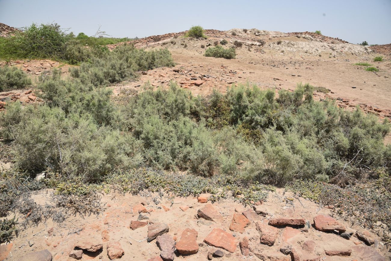
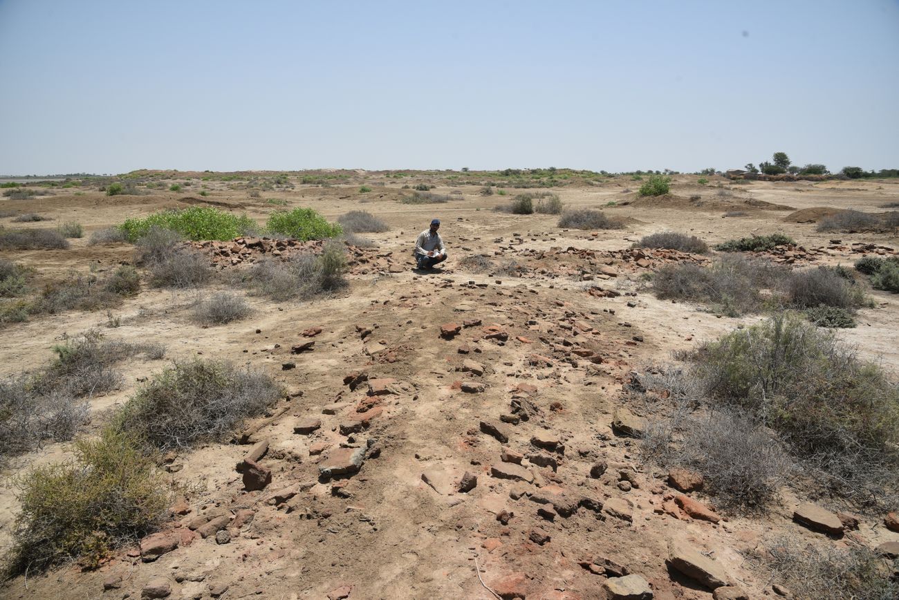
(2) Archaeological site known as Kheerin mound. The mound was discovered and documented by (cdc.eft.Hyd) team during the survey and documentation of Kheerin/Unarkot. TheKheerin settlement lies about 700 feet to the west of the Kheerin fort. It is a large mound measuring 655 meters in length, 307 meters in width and its elevation is 45' from sea level. This site seems to be a residential part of the fort.
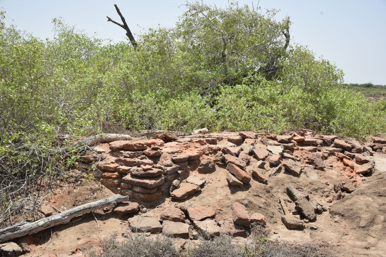
Cultural material was strewn over the site, which clearly belonged to the Islamic period, perhaps this settlement dated to the Soomra period and continued later during Samma and on wards when the fort was constructed. There were evidence of burnt bricks, brick bats and traces of wall and some other structural evidences near the mound on its southern side. Presently the mound is in a ruined condition.
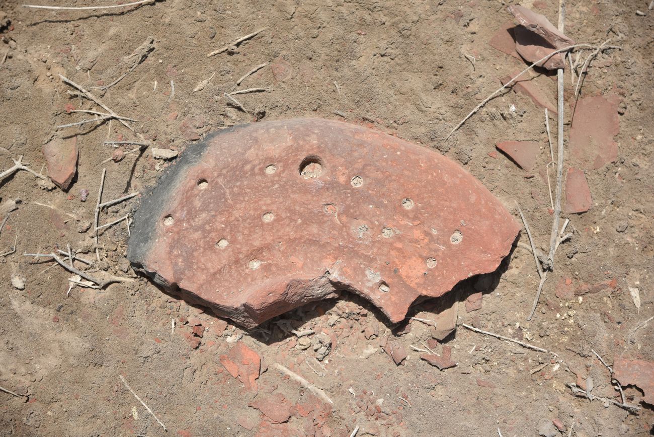
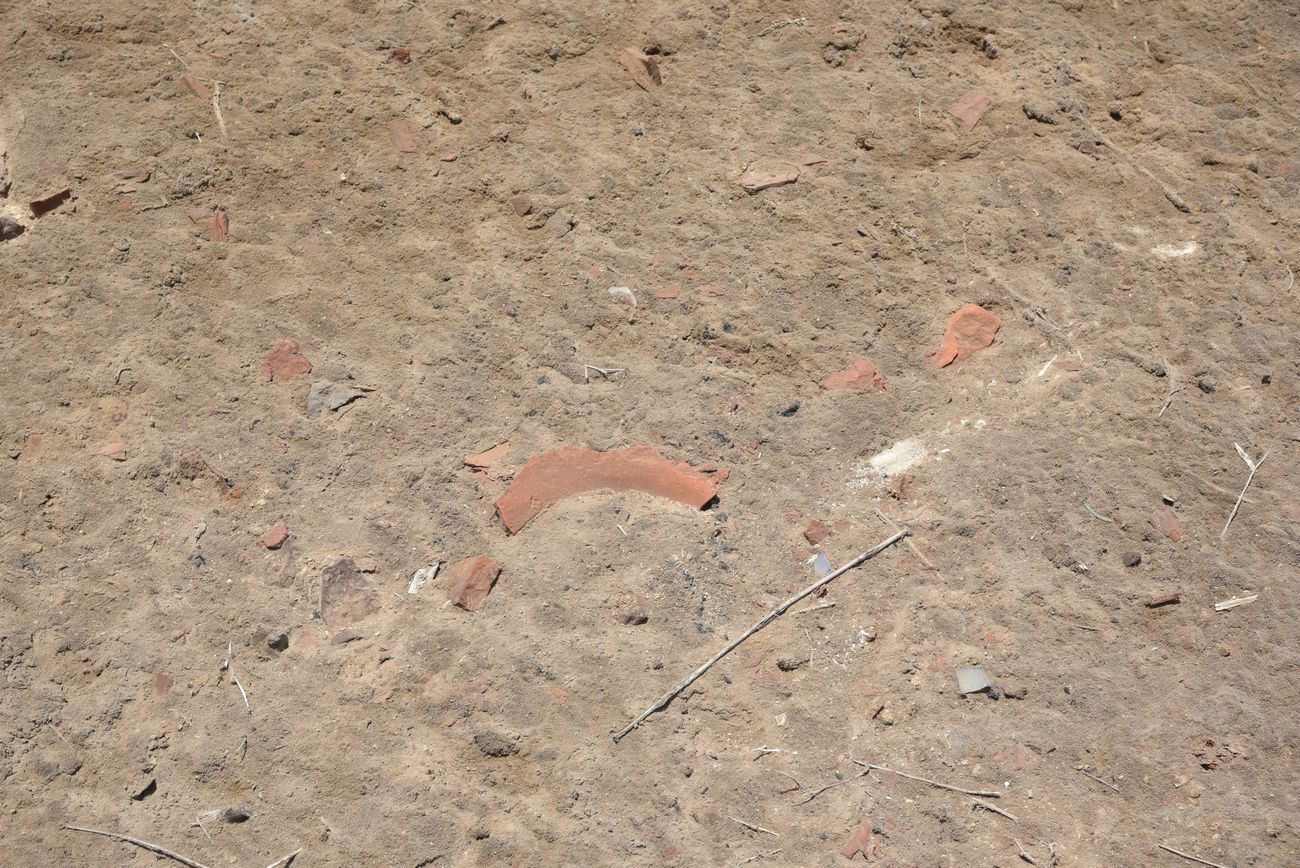
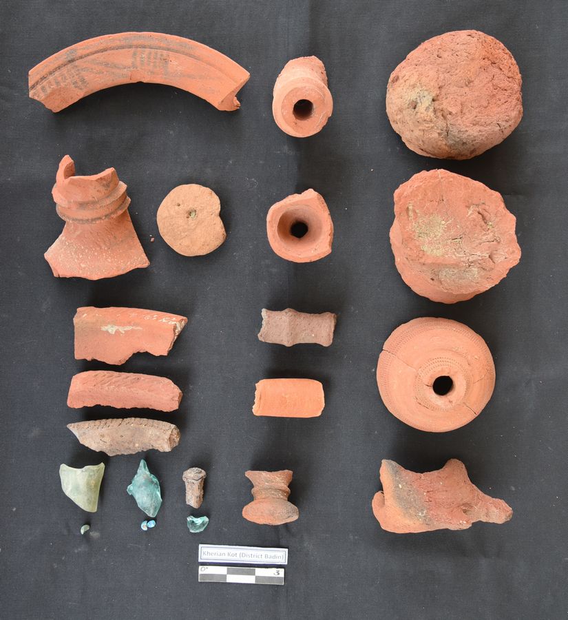
Cultural material comprises of painted pottery with black painting on red on the broad rim of the neck (typical pottery found in Badin sites), incised and impressed pottery, broken piece of handle, terracotta wheel, humble bumble, terracotta animal figurine, rice husk remover, beads and green colour glass pieces, etc.
PERIOD: Islamic (12th to 18th century AD). ACCESSIBILITY: The site is located approximately 5kms east of Jatikhur Wah road, near Leghari water drain, Taluka Golarchi, District Badin. Surveyed by CDC-EFT - May 11th, 2018.
Source: CDC - EFT
Open in Google Map: 24.6026957, 68.4262618
Images Gallery
Copyright © 2019 · All Rights Reserved · Endowment Fund Trust